Handheld laser rangefinder sensors have revolutionized distance measurement across various industries, offering precision, portability, and ease of use. These devices utilize laser technology to calculate distances by emitting a laser beam toward a target and measuring the time it takes for the beam to reflect back. This process, known as time-of-flight (ToF) measurement, ensures high accuracy, often within millimeters, making handheld laser rangefinders indispensable tools in fields such as construction, surveying, forestry, and sports.
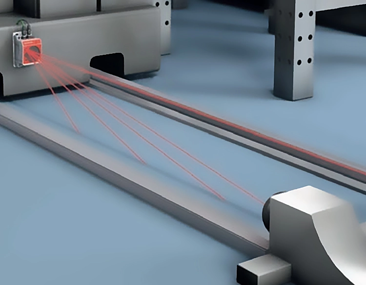
The core component of a handheld laser rangefinder is its sensor, which typically includes a laser diode, a photodetector, and a microprocessor. The laser diode emits a focused beam of light, usually in the infrared spectrum, to minimize interference from ambient light. When the beam hits a target, it reflects back to the device, where the photodetector captures the returning signal. The microprocessor then calculates the distance based on the time elapsed between emission and detection, applying algorithms to account for factors like atmospheric conditions and target reflectivity. Modern sensors often incorporate advanced features such as angle compensation, which adjusts measurements for inclines, and Bluetooth connectivity for data transfer to smartphones or computers.
In construction and surveying, handheld laser rangefinder sensors enhance efficiency by enabling quick measurements of distances, areas, and volumes without the need for traditional tape measures or cumbersome equipment. Professionals can assess building layouts, verify blueprints, or estimate material requirements with minimal effort. For example, a surveyor might use a rangefinder to map land contours or measure property boundaries accurately, reducing human error and saving time. Similarly, in forestry, these devices help estimate tree heights and timber volumes, supporting sustainable resource management.
Sports enthusiasts, particularly golfers and hunters, also benefit from handheld laser rangefinders. Golfers use them to gauge distances to flags or hazards, improving shot selection and course strategy. Hunters rely on rangefinders to estimate the range to prey, ensuring ethical and accurate shots. The sensors in these applications are designed to be lightweight and durable, with ergonomic grips and intuitive interfaces for ease of use in outdoor environments. Some models even include features like scan mode, which provides continuous distance updates as the user pans across a landscape.
Technological advancements have led to improvements in handheld laser rangefinder sensors, such as increased range capabilities—some devices can measure distances up to several kilometers—and enhanced battery life. Additionally, integration with GPS and digital mapping tools has expanded their utility, allowing users to overlay measurement data onto maps for comprehensive analysis. However, challenges remain, including limitations in adverse weather conditions like heavy rain or fog, which can scatter laser beams and reduce accuracy. Manufacturers are addressing these issues by developing sensors with better signal processing and weather-resistant designs.
Looking ahead, the future of handheld laser rangefinder sensors may involve further miniaturization, increased affordability, and smarter functionalities powered by artificial intelligence. For instance, AI could enable real-time object recognition, automatically identifying targets and adjusting measurements accordingly. As these devices become more accessible, their adoption is expected to grow in emerging fields like drone navigation, where precise distance data is crucial for autonomous operations.
In summary, handheld laser rangefinder sensors represent a blend of cutting-edge optics and electronics, delivering reliable distance measurement solutions for diverse applications. Their portability and accuracy make them valuable assets in both professional and recreational settings, driving innovation and efficiency across industries. By understanding their technology and potential, users can leverage these tools to achieve better outcomes, whether on a construction site, in the wilderness, or on the golf course.


 +40729977919
  keysensor.ro@gmail.com