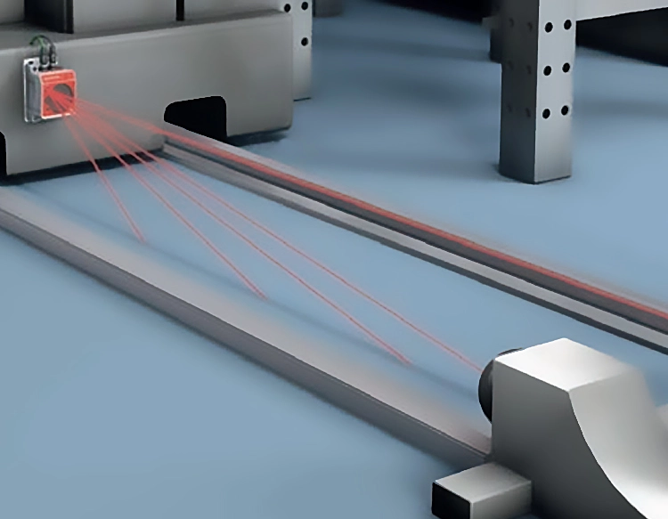
LiDAR, which stands for Light Detection and Ranging, is a remote sensing method that uses pulsed laser light to measure distances to the Earth. This technology generates precise, three-dimensional information about the shape of the Earth and its surface characteristics. A LiDAR sensor typically consists of a laser, a scanner, and a specialized GPS receiver. Airplanes and helicopters are the most common platforms for acquiring LiDAR data over broad areas. The fundamental principle involves emitting rapid laser pulses at a target and then measuring the time it takes for each pulse to bounce back. By calculating the time interval between the emission and the return of the pulse, the sensor determines the exact distance to the object or surface. This data, combined with positional information from the GPS, creates dense, detailed point clouds that map the topography with exceptional accuracy.
The evolution of LiDAR sensor technology has been remarkable. Early systems were large, expensive, and limited to major scientific or military projects. Today, advancements in laser diodes, inertial measurement units (IMUs), and photodetectors have led to the miniaturization and cost reduction of sensors. Modern LiDAR sensors are now found in compact, ruggedized units suitable for drones, autonomous vehicles, and even handheld devices. There are several types of LiDAR, including topographic LiDAR, which maps land surfaces, and bathymetric LiDAR, which uses water-penetrating green light to measure seafloor and riverbed elevations. Furthermore, sensors are categorized by their scanning mechanisms—such as rotating, solid-state, or MEMS-based—each offering different advantages in terms of field of view, resolution, and durability.
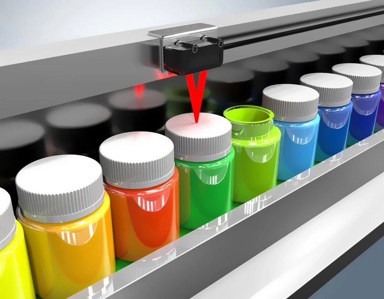
The applications of LiDAR sensors are vast and transformative. In autonomous vehicles, they serve as a critical component of the perception system, creating a real-time 3D map of the vehicle's surroundings to detect obstacles, pedestrians, and other vehicles with high reliability, even in low-light conditions. In environmental science and forestry, LiDAR is indispensable for measuring canopy height, biomass, and carbon storage, aiding in climate change research and sustainable management. Archaeologists use it to discover hidden structures beneath dense vegetation, revealing ancient civilizations without disruptive excavation. Urban planners and engineers rely on LiDAR for creating highly accurate digital elevation models for infrastructure projects, flood risk modeling, and construction site monitoring. The technology is also revolutionizing agriculture through precision farming, where sensors on tractors or drones assess crop health and optimize irrigation and fertilization.
Looking ahead, the future of LiDAR sensor technology is geared towards greater accessibility and enhanced capabilities. The push for fully solid-state LiDAR, with no moving parts, promises increased durability and lower costs, which is crucial for mass adoption in consumer automobiles and robotics. Researchers are also working on improving range, resolution, and the ability to classify materials based on their reflective signatures. Another exciting frontier is the integration of LiDAR with other sensing modalities like cameras and radar in sensor fusion systems, creating more robust and redundant perception for safety-critical applications. As processing power increases and machine learning algorithms become more sophisticated, the data from LiDAR sensors will yield even deeper insights, automating complex analysis tasks from monitoring deforestation to guiding robots in unstructured environments. This ongoing innovation ensures that LiDAR will remain at the forefront of the digital mapping and automation revolution, shaping industries and our understanding of the world for years to come.


 +40729977919
  keysensor.ro@gmail.com