LiDAR rangefinder sensors have revolutionized how we measure distance and map environments with unprecedented precision. These advanced devices emit laser pulses and calculate the time it takes for the light to reflect off objects, generating detailed three-dimensional representations of surroundings. Unlike traditional radar or camera-based systems, LiDAR operates effectively in various lighting conditions, including complete darkness, making it indispensable for applications requiring high accuracy and reliability.
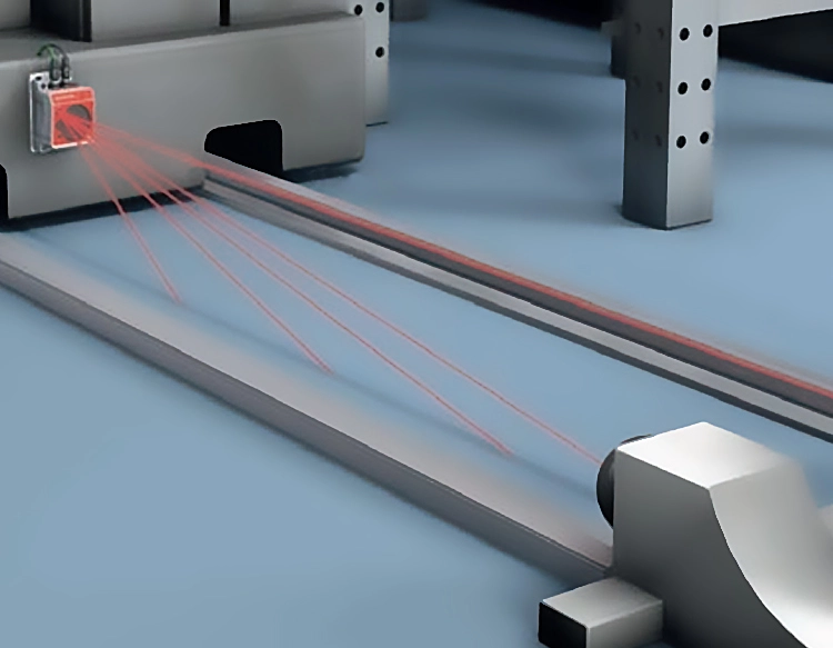
The core mechanism of a LiDAR rangefinder involves a transmitter, receiver, and processor. The transmitter sends out rapid laser beams, which strike surfaces and bounce back to the receiver. By analyzing the return time and wavelength shifts, the sensor calculates exact distances and creates point clouds—collections of data points in space. Modern LiDAR systems often incorporate rotating or scanning components to cover wide areas, with some models capable of capturing millions of points per second. This efficiency enables real-time data acquisition, essential for dynamic environments like autonomous vehicles or aerial surveys.
In the automotive industry, LiDAR rangefinders serve as critical components for self-driving cars. They detect obstacles, pedestrians, and other vehicles, providing a 360-degree view that enhances navigation safety. Companies like Waymo and Tesla integrate these sensors to improve object recognition and collision avoidance systems. Similarly, in robotics, LiDAR enables machines to navigate warehouses or outdoor terrains autonomously, optimizing logistics and operational efficiency.
Beyond transportation, LiDAR technology plays a vital role in environmental monitoring and agriculture. For instance, it helps map forest canopies to assess biomass and track deforestation, while in precision farming, sensors measure crop health and soil topography to guide irrigation and fertilization. Archaeologists also use LiDAR to uncover hidden structures beneath vegetation, revealing historical sites without invasive excavation.
The construction and urban planning sectors benefit from LiDAR's ability to create detailed topographic maps and building models. Surveyors employ handheld or drone-mounted sensors to capture site data quickly, reducing manual labor and errors. In disaster management, LiDAR assists in assessing damage after earthquakes or floods by comparing pre- and post-event scans, aiding rescue efforts and reconstruction planning.
Despite its advantages, LiDAR rangefinder sensors face challenges such as high costs and sensitivity to weather conditions like heavy rain or fog. However, ongoing research focuses on developing solid-state LiDAR, which is more compact and affordable, potentially expanding its adoption in consumer electronics and smart home devices. As innovation continues, these sensors are expected to become more accessible, driving advancements in virtual reality, security systems, and beyond.
In summary, LiDAR rangefinder sensors represent a transformative technology with diverse applications across industries. Their ability to deliver precise, real-time spatial data supports automation, sustainability, and safety initiatives, positioning them as key tools for future technological progress.


 +40729977919
  keysensor.ro@gmail.com