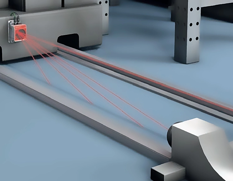
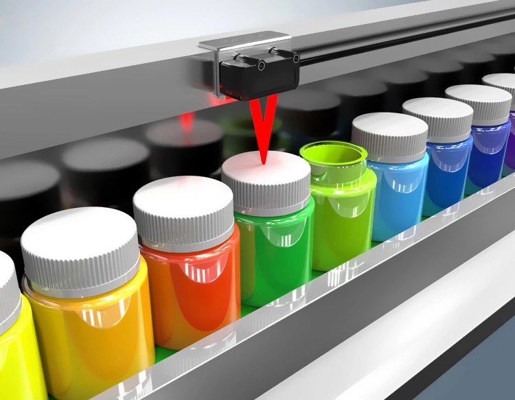
Laser rangefinder sensors and LiDAR (Light Detection and Ranging) are pivotal technologies in modern measurement and mapping. Both rely on laser pulses to determine distances with high precision, yet they serve distinct purposes across various industries. A laser rangefinder sensor typically measures the distance to a single target by emitting a laser beam and calculating the time it takes for the reflection to return. This technology is widely used in construction, surveying, and sports like golf or hunting, where quick, accurate distance readings are essential. For instance, in construction, professionals use handheld laser rangefinders to assess site dimensions efficiently, reducing human error and saving time.
In contrast, LiDAR systems operate on a broader scale. They emit thousands of laser pulses per second to create detailed, three-dimensional maps of environments. By scanning large areas, LiDAR captures intricate topographical data, making it invaluable for applications such as autonomous vehicles, forestry management, and urban planning. For example, in self-driving cars, LiDAR sensors continuously scan the surroundings to detect obstacles, pedestrians, and other vehicles, enabling real-time navigation decisions. This capability enhances safety and reliability in automated systems.
The core principle behind both technologies involves time-of-flight measurement. When a laser pulse is sent out, it reflects off surfaces and returns to the sensor. The system calculates the distance based on the speed of light and the time elapsed. Laser rangefinders often use this method for single-point measurements, while LiDAR employs multiple beams to generate point clouds—dense collections of data points that represent object shapes and terrain features. Advances in semiconductor and optics have improved the accuracy and speed of these systems, allowing for more compact and affordable devices.
In terms of components, a typical laser rangefinder sensor includes a laser diode, a receiver, and a processor. The diode emits focused light, the receiver detects the reflected signal, and the processor computes the distance. LiDAR systems are more complex, incorporating rotating mirrors or solid-state components to direct laser beams across wide angles. They also integrate with GPS and inertial measurement units for precise geolocation, which is crucial for mapping and autonomous applications. Recent developments in solid-state LiDAR have reduced moving parts, leading to more durable and cost-effective solutions suitable for mass-market adoption.
Applications of these technologies span diverse fields. In agriculture, LiDAR helps monitor crop health and optimize irrigation by analyzing field elevation and vegetation density. Environmental scientists use it to track deforestation or coastal erosion, providing data for conservation efforts. Meanwhile, laser rangefinders assist in archaeology for documenting artifacts without physical contact, preserving delicate sites. The military and defense sectors leverage both for target acquisition and reconnaissance, highlighting their versatility in high-stakes scenarios.
Despite their benefits, challenges exist. Laser rangefinder sensors may struggle with highly reflective or absorbent surfaces, affecting accuracy. LiDAR systems can be limited by weather conditions like fog or heavy rain, which scatter laser beams. However, ongoing research focuses on enhancing signal processing and integrating complementary sensors, such as cameras or radar, to overcome these issues. As technology evolves, we can expect further miniaturization and integration into everyday devices, from smartphones to smart home systems.
In summary, laser rangefinder sensors and LiDAR share foundational laser-based mechanics but differ in scope and application. While rangefinders excel at precise, single-target distance measurements, LiDAR provides comprehensive spatial mapping for complex environments. Their continued advancement promises to revolutionize industries by offering more accurate, efficient, and accessible tools for data collection and analysis. Understanding these differences helps users select the right technology for their specific needs, whether it's for professional surveying, autonomous navigation, or environmental monitoring.


 +40729977919
  keysensor.ro@gmail.com