In the demanding environments of modern mining and heavy industry, precision, safety, and efficiency are paramount. The Mining Laser Rangefinder Sensor has emerged as a critical tool, revolutionizing how distances, volumes, and spatial data are measured in challenging conditions. Unlike conventional measuring tools, this advanced sensor utilizes laser technology to deliver highly accurate, non-contact measurements over long ranges, even in low-visibility settings common in mines, quarries, and construction sites.
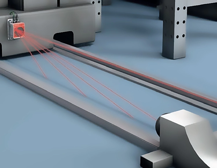
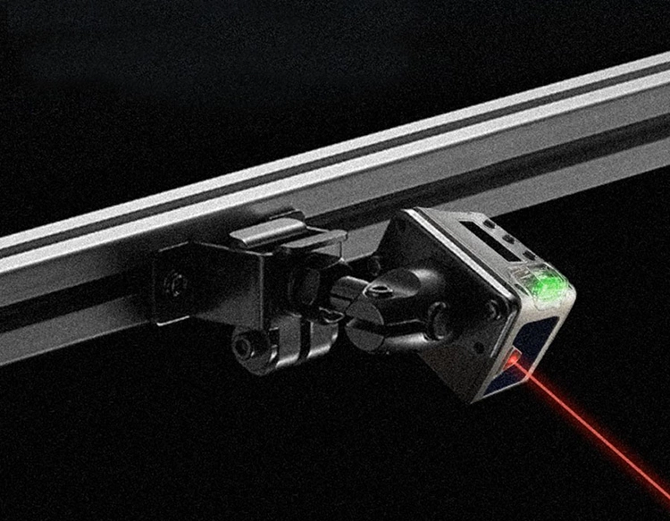
The core technology behind a mining laser rangefinder involves emitting a focused laser beam towards a target. The sensor then calculates the time it takes for the beam to reflect back to the device, known as the time-of-flight principle. This data is processed to determine the exact distance with remarkable precision, often within millimeters. Modern sensors are ruggedized to withstand extreme conditions, including dust, moisture, vibrations, and temperature fluctuations, making them indispensable for continuous operation in harsh mining landscapes.
A primary application is in volume calculation and stockpile management. Accurately measuring the dimensions of ore, coal, or aggregate stockpiles is crucial for inventory control, logistics planning, and financial reporting. Laser rangefinders enable surveyors and engineers to quickly scan irregular piles from a safe distance, generating precise 3D models and volume estimates without the need for manual, time-consuming, and potentially hazardous measurements.
Furthermore, these sensors play a vital role in slope stability monitoring and blast design. In open-pit mines, monitoring the angle and displacement of highwalls is essential for preventing catastrophic collapses. Laser rangefinders can be integrated into automated monitoring systems to provide real-time data on slope movements, allowing for early warning of potential failures. In blast planning, precise distance measurements to the rock face ensure optimal drill hole placement and explosive charge calculation, maximizing fragmentation efficiency while minimizing vibration and flyrock.
The integration of laser rangefinder data with other technologies like GPS, GIS, and drone-based surveying has further expanded its utility. This synergy allows for the creation of highly detailed digital terrain models, improving site planning, excavation progress tracking, and reclamation efforts. The data collected supports predictive maintenance of machinery by ensuring equipment operates within designated spatial parameters, reducing the risk of collisions or operational errors.
Looking ahead, the evolution of mining laser rangefinder sensors points towards increased automation, enhanced data processing through AI algorithms, and greater connectivity within the Industrial Internet of Things (IIoT). These advancements promise not only higher levels of operational accuracy and productivity but also a significant improvement in worker safety by reducing the need for personnel to enter hazardous zones for measurement tasks. As industries continue to prioritize smart, data-driven operations, the mining laser rangefinder sensor stands as a foundational technology enabling the next leap in industrial efficiency and safety.


 +40729977919
  keysensor.ro@gmail.com


