LIDAR SENSOR BUY: A GUIDE TO SELECTING AND USING LIDAR AND SENSOR TECHNOLOGY
In today’s rapidly evolving technological landscape, the integration of LiDAR (Light Detection and Ranging) and sensor technology has become a cornerstone for innovation across industries. Whether you’re developing a new product, enhancing an existing system, or exploring the potential of autonomous vehicles, understanding how to effectively incorporate LIDAR and sensor systems is crucial. This article provides a comprehensive overview of LIDAR and sensor technology, their roles in modern applications, and how to select and integrate them into your project.
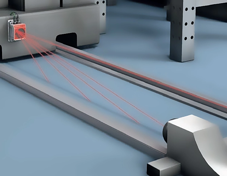
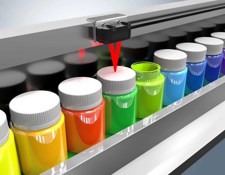
LiDAR is a key component in many advanced systems, offering high-resolution 3D mapping and object detection. It works by emitting laser pulses and measuring the time it takes for the light to return, creating detailed spatial data. This technology is widely used in autonomous vehicles, robotics, and geographic information systems (GIS). Similarly, sensor technology encompasses a variety of devices that detect and respond to environmental changes, from temperature and pressure sensors to optical and acoustic sensors. Together, LIDAR and sensor systems provide a robust foundation for real-time data collection and analysis.
When purchasing LIDAR and sensor technology, it’s essential to consider factors such as precision, range, resolution, and compatibility with existing systems. For instance, in autonomous driving, the LiDAR must have a high spatial resolution to detect obstacles accurately, while sensors must be capable of operating in various environmental conditions. Choosing the right combination of LIDAR and sensors is critical to achieving the desired performance and reliability.
In addition to hardware selection, software integration is equally important. Many LIDAR and sensor systems come with proprietary software that allows for data processing, visualization, and analysis. These tools often provide real-time feedback, enabling users to monitor system performance and make adjustments as needed. Furthermore, cloud-based solutions are becoming increasingly popular, allowing for remote data storage and analysis, which enhances scalability and convenience.
The advantages of using LIDAR and sensor technology are manifold. They enable greater accuracy, efficiency, and data-driven decision-making. For example, in agriculture, LiDAR can be used to create detailed maps of fields, helping farmers optimize crop yields and reduce resource usage. Similarly, in the construction industry, sensors can monitor structural integrity and environmental conditions, ensuring safety and compliance with building codes.
However, the adoption of LIDAR and sensor technology also presents challenges. One of the main issues is the cost associated with high-performance systems. While the benefits are significant, the initial investment can be substantial. Another challenge is the integration of these technologies into existing systems, which may require significant updates or modifications. Moreover, data privacy and security concerns are growing, especially with the increasing use of these systems in sensitive applications.
To ensure the successful implementation of LIDAR and sensor technology, it is advisable to conduct thorough research and due diligence. Evaluating different vendors, comparing product specifications, and reading customer reviews can help identify the best solutions for your specific needs. Additionally, working with experienced consultants or developers can provide valuable insights and support during the implementation process.
In conclusion, LIDAR and sensor technology represents a transformative force in modern innovation. By carefully selecting and integrating these technologies, businesses and individuals can unlock new possibilities and drive meaningful progress. As the demand for advanced sensing and mapping solutions continues to grow, the role of LIDAR and sensor technology will only become more critical.


 +40729977919
  keysensor.ro@gmail.com